Real Estate Aerial Photo & Video
From $249
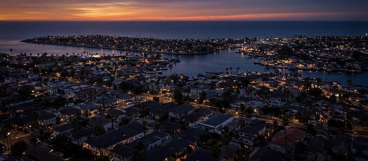
Listing photos and video, surrounding-area footage, and neighborhood B-roll for agents' own marketing.
- Airspace check and flight plan
- Edited aerial stills
- Optional video flyover
Six focused services from one FAA Part 107 certified, veteran-owned operator based in Costa Mesa.
Starting prices are shown below. Open a service to see its packages. Final pricing depends on property size, location, and airspace. Request a quote for an exact price.
From $249
Listing photos and video, surrounding-area footage, and neighborhood B-roll for agents' own marketing.
From $249
Close-up roof imagery without ladders, with a clear photo report.
From $349
Repeatable flight paths for consistent site documentation.
From $595
Orthomosaic maps (stitched, map-like overhead images) and site imagery to support licensed professionals.
From $225/hr (2-hour minimum)
Aerial footage for brands, properties, and marketing teams.
From $199
High-resolution visual imaging of rooftop and ground-mount solar arrays.
Authorization where required, including near John Wayne Airport.
A site plan and pre-flight safety brief before every flight.
Delivered by download link.
The same person from request to delivery.
Describe the property and the goal, and we'll recommend a flight plan.